Anopolis - Mouri,
West Crete
The route from Anopolis to Mouri is a step into the absolute wilderness of the White Mountains. This is an unpaved, high-altitude journey that takes you away from the coastline and into the "Moonscape" of Crete—a world of grey limestone, ancient shepherd huts, and silent peaks.
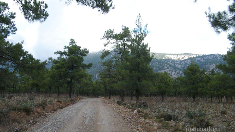
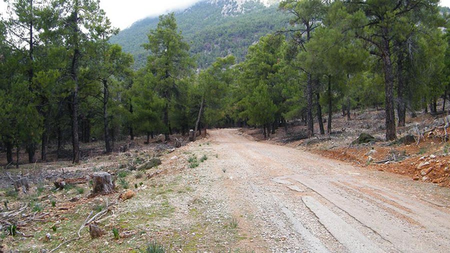
1. Entering the High Mountains
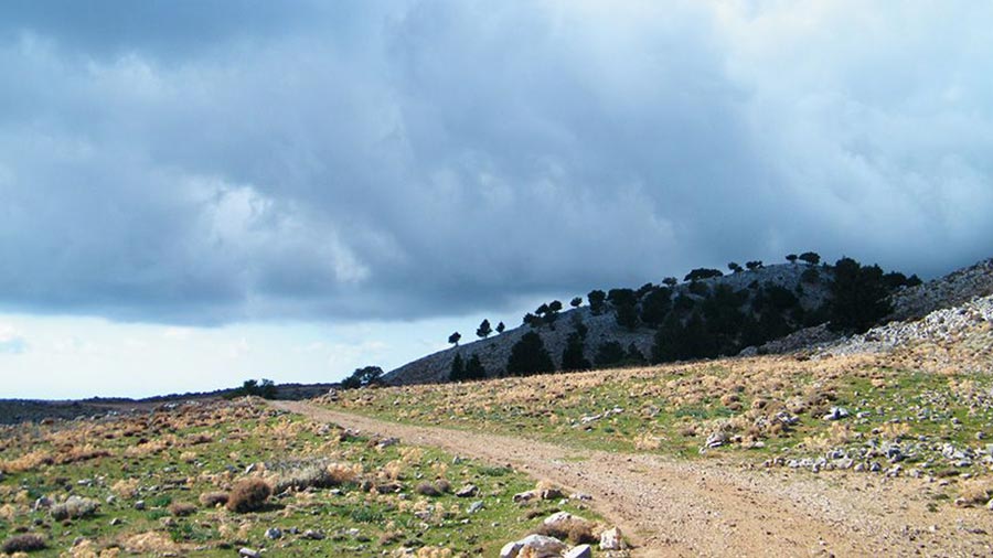
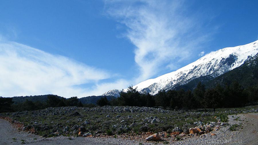
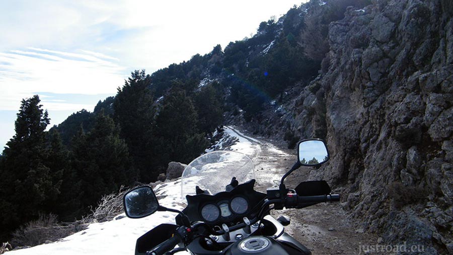
Leaving the village of Anopolis behind, the asphalt quickly ends, and the rugged dirt track begins. The climb is steady as you head north toward the heart of the "Lefka Ori." The air becomes thinner and cooler, and the lush vegetation of the coast is replaced by hardy mountain herbs and the occasional wind-swept cypress tree.
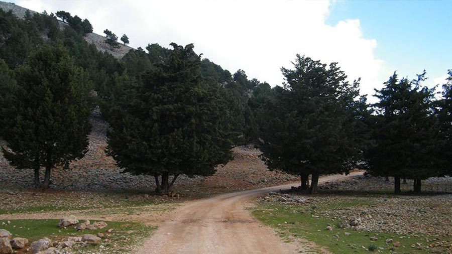
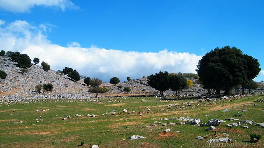
2. The Wilderness of Mouri
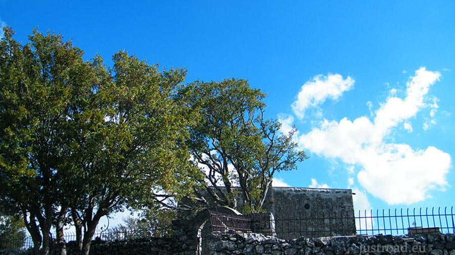
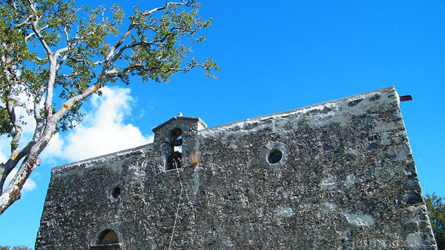
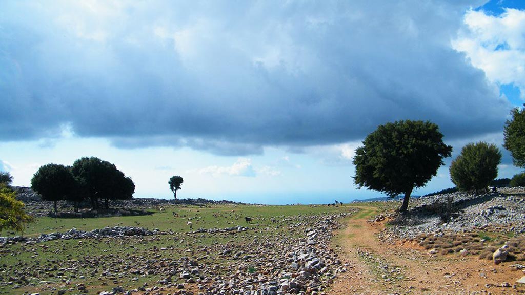
The destination, Mouri, is not a typical village but a remote mountain settlement used by Sfakian shepherds. This area is the definition of isolation. Surrounded by towering summits, you feel the true scale of the Cretan mountains. The silence here is only broken by the distant sound of goat bells and the wind whistling through the limestone crevices.
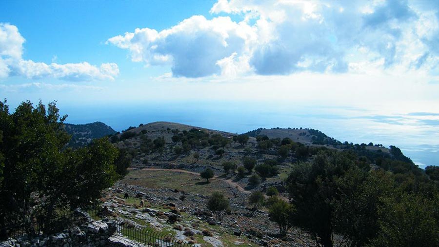
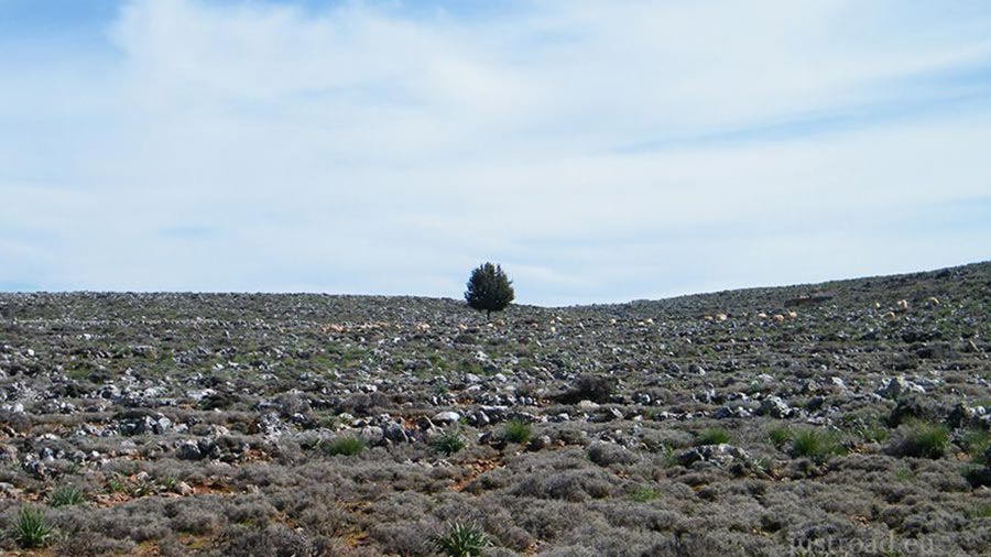
3. The High Desert Views
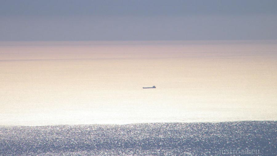
As you reach the higher sections of the track, you get a clear view of the "High Desert" of Crete—the unique alpine zone where the mountain peaks look like giant waves of stone. To the south, if the weather is clear, the Libyan Sea glimmers like a blue ribbon far below, providing a staggering sense of perspective on how high you have climbed.
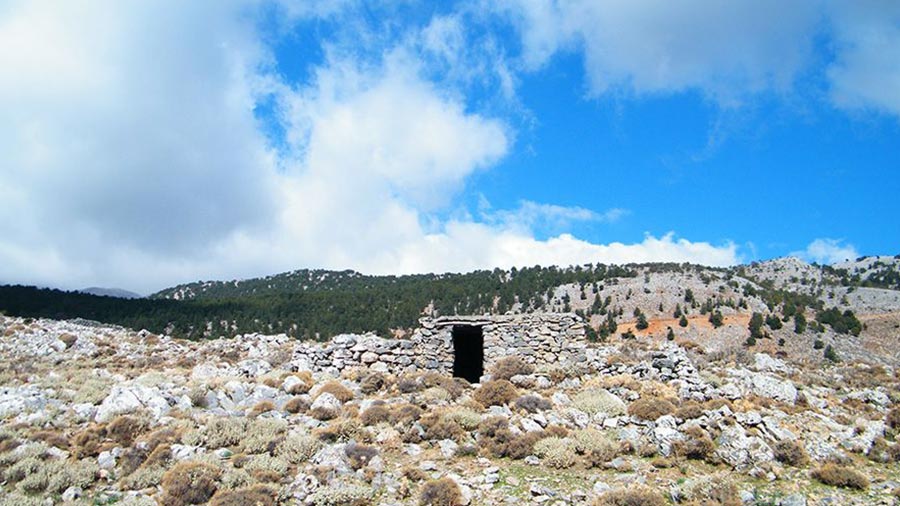
Whispers of the Peaks: Local Secrets
The Shepherd "Mitata": Along the route, you will see "Mitata"—stone-built, beehive-shaped huts where shepherds have lived and made cheese for centuries. Some are still in use today.
A Place of Refuge: During the many Cretan uprisings and the WWII occupation, these high-altitude folds in the mountains served as the ultimate hiding places for rebels and resistance fighters.
Rider’s Notes
Road Width: A typical mountain dirt track. It is narrow in sections with some exposed edges, so careful placement of your wheels is essential.
Surface: Unpaved and rocky. Expect loose stones, "washboards," and occasional ruts from winter rains. A 4x4 vehicle or an Adventure/Enduro bike is highly recommended.
Caution: Check the weather before heading up. Cloud cover can roll in rapidly, reducing visibility to near zero. Also, be prepared for "roadblocks" consisting of hundreds of sheep—just wait patiently, and they will eventually move.
Info box
Surface: Unpaved
Unpaved difficulty level: 4 (easy)

Road classes: Unclassified
Terrains: Mountainous
Traffic: Almost none
Coordinates start (DD): 35.21880267620065, 24.084627628326416
Coordinates end (DD): 35.23869499804778, 24.12301003932953